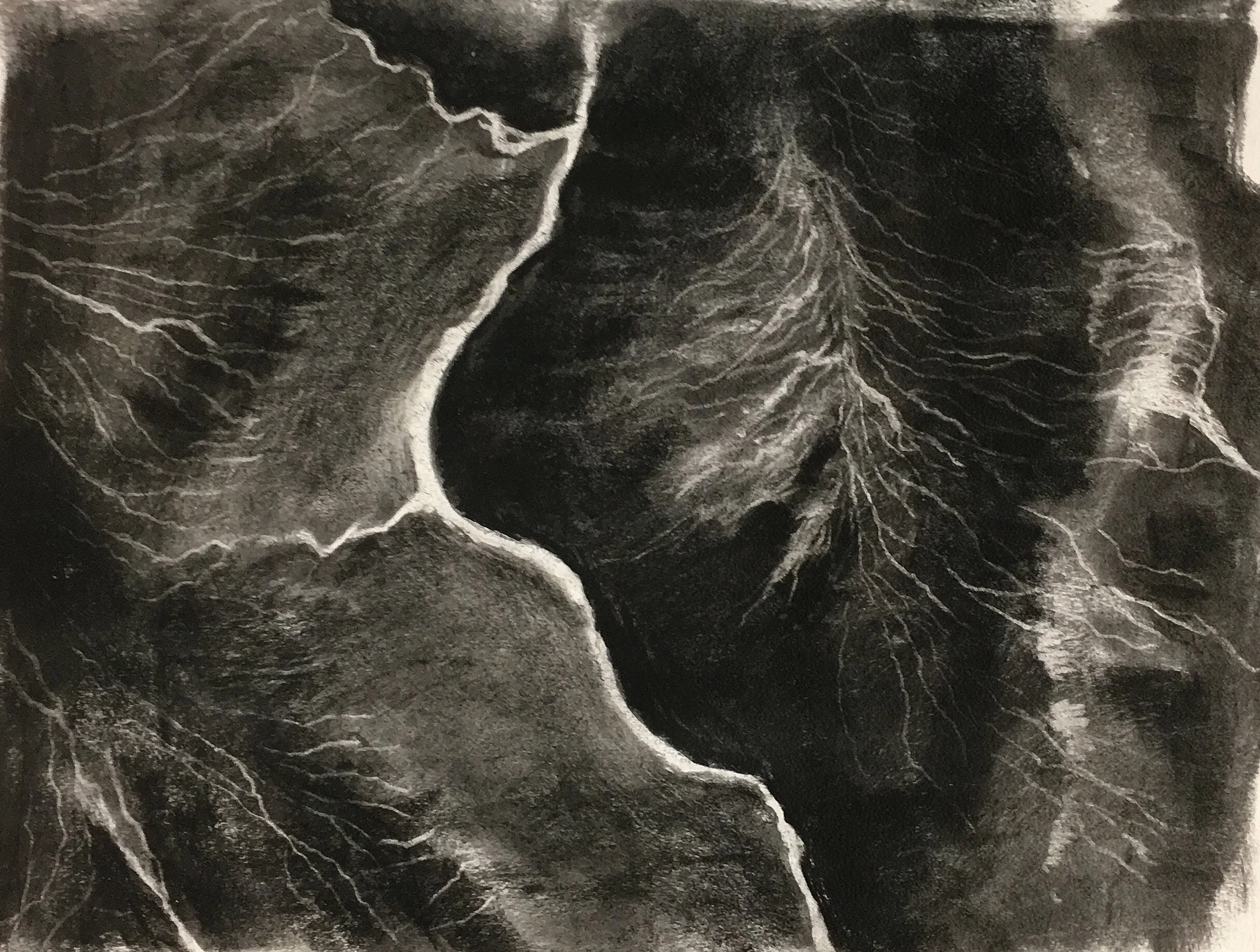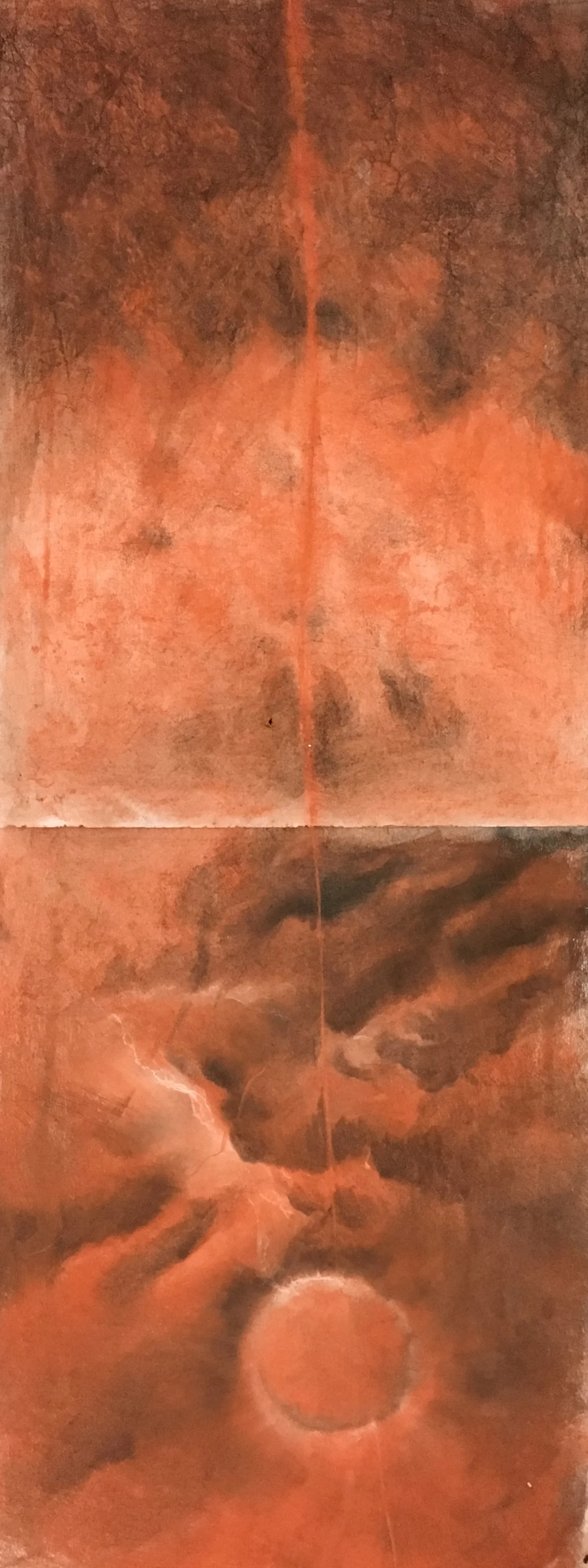


5 selected landscapes across the northwestern and southeastern hemispheres
with
3 local audio recordings played over 5 distant landscape audio recordings
Signal channel video recordings:
Landscape footage generated from satellite imagery, in the order of appearance:
● Northeastern Greenland
● Northern New England
● Midwest USA
● South West USA
● Central Australia
Two-channel Audio Recordings:
Audio Group 1—5 Distant Landscapes
Distant landscapes are software translations of visual data from film footage into audible tones for each global location listed below. Each landscape in Audio Group 1 is a sound capture with its own tonal signature.
In the order of appearance:
● Northeastern Greenland, 64 dB-A
● Northern New England, 72 dB-A
● Midwest USA, 75 dB-A
● South West USA, 79 dB-A
● Central Australia, 84 dB-A
Audio Group 2—Local Landscape:
Local Landscape voice recordings were recorded from within my home landscape. Audio Group 2 plays over the distant landscapes in the below order:
● bird baseline (calm); plays over Northeastern Greenland
● bird alarm (agitation); plays over Northern New England
● bird alarm (agitation); plays over Midwest USA
● bird alarm (agitation); plays over South West USA
● spring peepers (renewal); plays over Central Australia
Bi-natural Artist’s Statement & Notes on 5 satellite-captured landscapes:
How has the world changed since the Apollo program photograph, Earthrise? Earthrise is the most "influential environmental photograph ever taken" (Galen Rowell); it fostered the imperative for holistic psychology and a harmonious relationship between Earth and her inhabitants. But with this awareness also arose a paradox. We walk on this Earth, rarely ever leaving its surface, but all the while, our minds have wandered far from its embrace. Humankind has become satellites themselves, orbiting the place we call home, dissociating from that which gives us life. From our new position, both in space and history, we look out from this vantage, with an opportunity to choose how we orient to land and life. With this history in mind, the film starts with views of Earth from space and ends with Australia, the landscape that housed NASA's facilities that guided orbiting humans back to the Earth more than 50 years ago.
At the beginning of the film, bird voices are calm and singing, which is called "baseline." As the film progresses, the birds vocalize the threat of the changing landscape. As the locations become more hostile to life with each passing scene, the avian voices begin to "alarm." The corvid family's crow, for example, is known for "tattling" on intruders or predators. Finally, Spring peepers, the only non-avian natural voices, mark the close of the film's cycle with the possibility of renewal:
Northeastern Greenland Ice-covered coastal mountain range. This region is similar to the Laurentide Ice Sheet, which was the last ice sheet, or continental glacier, to cover North America.
Northern New England a recovering forest tapestry. A postglacial landscape, scared by colonial timber extraction.
Midwest USA Farmland, quartered and heavily worked earth. The region reflects the Public Land Survey System which organized the sale and settlement of 3/4 of the land in the United States.
Southwestern USA Oil Fields, with sand roads running between fossil fuel extraction points. Oil drilling produces dangerous emissions contributing to climate change and causes damage (often irreversible) to pristine landscapes.
Southwestern Australia Desert, hostile landscape. Australia’s fire season is lengthening and becoming more dangerous. The region is home to NASA tracking stations, the prime link for the last hours of re-entry to Earth.

O'Keefe Sports Complex Salem State University Salem, MA Area Code: Video and Digital Art Drive-in Project Juried Exhibition by Dr. Leonie Bradbury: Bi-natural, Contemplating Local and Global Relationships to Nature(As Moisture and Ice Retreats to the North), Summer 2020

18 x 24 inches, 2018, newsprint, tape, chalk pastel, oil pastel, pastel powder, graphite pencil, charcoal. SOLD

18 x 24 inches, 2018, newsprint, tape, chalk pastel, oil pastel, pastel powder, graphite pencil, charcoal

95 x 80 inches, 2018, canvas, found cloth, thread, dirt, pastel powder, acyclic

18 x 24 inches, 2018, acrylic, paper, tissue paper, sand, cellulose, iron, water, activated carbon, vermiculite, salt, craft glue, pastel, digital edit with iPhone

60 x 80 inches, 2018, canvas, found cloth, thread, dirt, acyclic

Readymade image of NASA global temperature map, 2010, captured 2014

Photos of cells, vintage paper and constellation, illustrations digitally collaged on iPhone, 2020